14 Iceland Glacier Facts That Will Surprise You
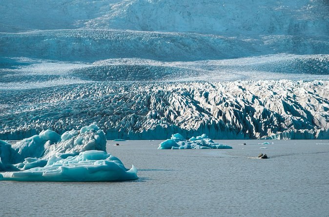
The short answer. Vatnajökull covers about 7% of Iceland, sits on seven volcanoes, and has lost more than 15% of its volume in a century. The lagoon everyone photographs did not exist before the 1930s, and a volcano under the ice renamed a whole district in 1362. You can see most of it on an Iceland glacier day tour.
The size of it
1. It covers about 7% of the country
Vatnajökull measured around 7,500 km² in 2023, around 7% of Iceland. Glaciers of every size together cover about 10% of the country.
2. It is still Europe’s largest ice cap by volume
Even after its losses, no ice cap in Europe holds more ice. You can hike on its outlet glaciers from Skaftafell in three hours.
3. It lost more than 15% of its volume in a century
The park’s own figure. Since 2000 Iceland’s outlet glaciers have retreated exceptionally fast, and together they could lose half their volume by 2100.
4. It was at its biggest only about 130 years ago
This is the surprise. Vatnajökull reached its largest size of the last 10,000 years at the end of the nineteenth century. The retreat you see is recent.
Younger than you expect
5. It is not left over from the Ice Age
The great ice sheet that covered Iceland 20,000 years ago melted away. Vatnajökull formed much later, as mountain glaciers joined up; by the settlement of Iceland around 874 they had merged into one ice cap.
6. There were trees where the ice now stands
Tree logs found in front of Skaftafellsjökull and Fláajökull have been dated to about 2,000 years ago, proof that those valleys were free of ice then.
7. It buried farms from the sagas
In the seventeenth and eighteenth centuries Breiðamerkurjökull advanced over farms first settled by the earliest Icelanders and named in the sagas. At its furthest it came within about 250 metres of the sea.
Fire under the ice
8. Seven volcanoes sit beneath it
Four of them are among the most active in Iceland. A 1996 eruption under the ice built a 7 km ridge that the glacier has since buried.
9. A volcano renamed a whole district
In 1362 the volcano under Öræfajökull erupted in the largest pumice eruption in Iceland’s recorded history and destroyed the settlement around it. The district, until then called Litla Hérað, the little county, became Öræfi, the wasteland. It erupted again in 1727. The tour bases in Öræfi stand in that district today.
10. The landscape stands in for Mars
The volcanic features of the national park have been used as analogues for similar features on Mars. The park became a World Heritage Site on 5 July 2019.
The lagoons
11. The lagoons appeared in the 1930s
Lakes began to appear in front of the retreating glaciers in the 1930s. The largest are Jökulsárlón, Breiðárlón and Fjallsárlón, each fed by a calving glacier, and each is still growing.
12. It fills a trench up to 300 metres deep
Jökulsárlón is the mouth of a trough 200 to 300 metres deep and 25 km long, carved by the glacier. The lagoon page covers the boats, the trails and Diamond Beach across the road.
On the ice itself
13. Crevasses stop at about 30 metres, unless water gets in
The weight of the ice squeezes cracks shut below about 30 metres. Water pouring into a crack can wedge it hundreds of metres down, sometimes through the whole glacier. Crevasses, moulins and blue ice explained takes you through the rest.
14. In 2024 the park shut the ice caves for a month
In September 2024 the park extended the operators’ contracts to 30 October but did not allow anyone into an ice cave in that period. There are no ice caves all year: they are a cold-months activity, confirmed by the operator day by day.
You do not need to go on the ice to see it. From the shore the icebergs sit at the mouth of that trench, and on a boat you float over water deeper than most of the icebergs are tall. The bigger the berg you see, the more of it is below you.
The facts at a glance
| Fact | Figure | Why it matters on a tour |
|---|---|---|
| Area in 2023 | around 7,500 km² | Every outlet you hike is part of it |
| Volume lost in a century | more than 15% | The ice you walk on is retreating |
| Biggest size | About 130 years ago | Moraines mark the old edge |
| Volcanoes beneath | Seven | Ash streaks in the ice |
| Lagoon trough | 200 to 300 metres | Icebergs float in deep water |
| World Heritage since | 5 July 2019 | The park protects the whole area |
Three things visitors get wrong
- There is no glacier ticket. No authority sells admission to the ice. You pay for a guided tour, and at Skaftafell and the lagoon for the park’s parking, from 1,110 ISK a car.
- Ice caves are not open all year. They form and collapse with the seasons, and tours run in the cold months, roughly October to April.
- Seeing a glacier is not walking on one. Some South Coast sightseeing days stop at the snout of Sólheimajökull for 45 minutes with no walk on the ice. To stand on it, you need a guided hike with crampons.
Where you can see each fact for yourself
Most of these facts have a place you can stand in front of. The retreat of facts 3 and 4 shows on every outlet glacier: the moraine ridges you cross on the way to the ice mark where the front stood when the ice cap was at its biggest. The ash of fact 8 shows as dark bands on Sólheimajökull and inside the ice caves. The 1362 eruption of fact 9 named the district the Skaftafell tour bases stand in, and the outwash plain in the callout is the flat grey land you drive across on Route 1 to reach them.
The lagoon facts need water. From the car park at Jökulsárlón you can watch icebergs drift towards the sea; on a boat you float over the deep trough itself. The trench, the calving front and the icebergs are all the same process, seen at three stages. Diamond Beach, across the road, is where the smallest pieces end up.
The crevasses of fact 13 are the one fact you should only see with a guide. A guided hike shows them from a safe edge, and the longer hikes cross the smaller ones on a rope. The ice caves of fact 14 need both a guide and the right month.
See it for yourself
Most of these facts are visible on a single day. You can stand on an outlet of Vatnajökull on a glacier hike, float among icebergs on a lagoon boat, and see the ash and blue ice inside a cave in the cold months. If you are based in Reykjavík, the lagoon boat day takes you there and back for $286.
- Plan the season with the calendar by activity.
- Pack for the weather with the month-by-month weather.
- Find the starts on the meeting-point map.
Want to hear the full story on the ice? A guide explains every one of these facts as you walk.
Tours that show you the lagoon and the ice
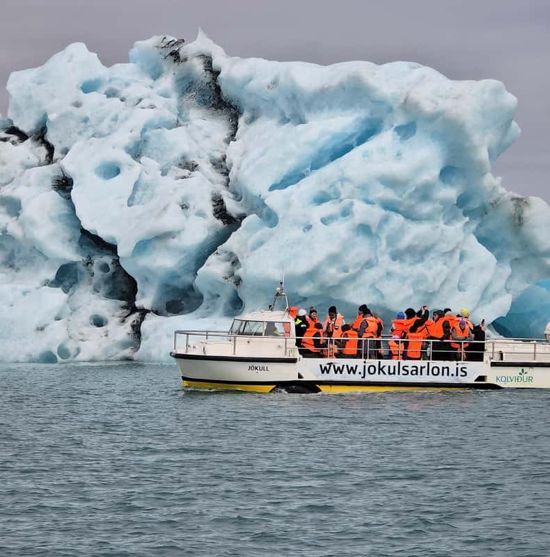
Reykjavik: Glacier Lagoon Boat Ride & Diamond Beach Day Tour
Fourteen hours from your Reykjavík hotel to the lagoon and back, with a 30-minute boat ride among the icebergs in the fare; nobody walks on the ice.
From $286 per person
Check Availability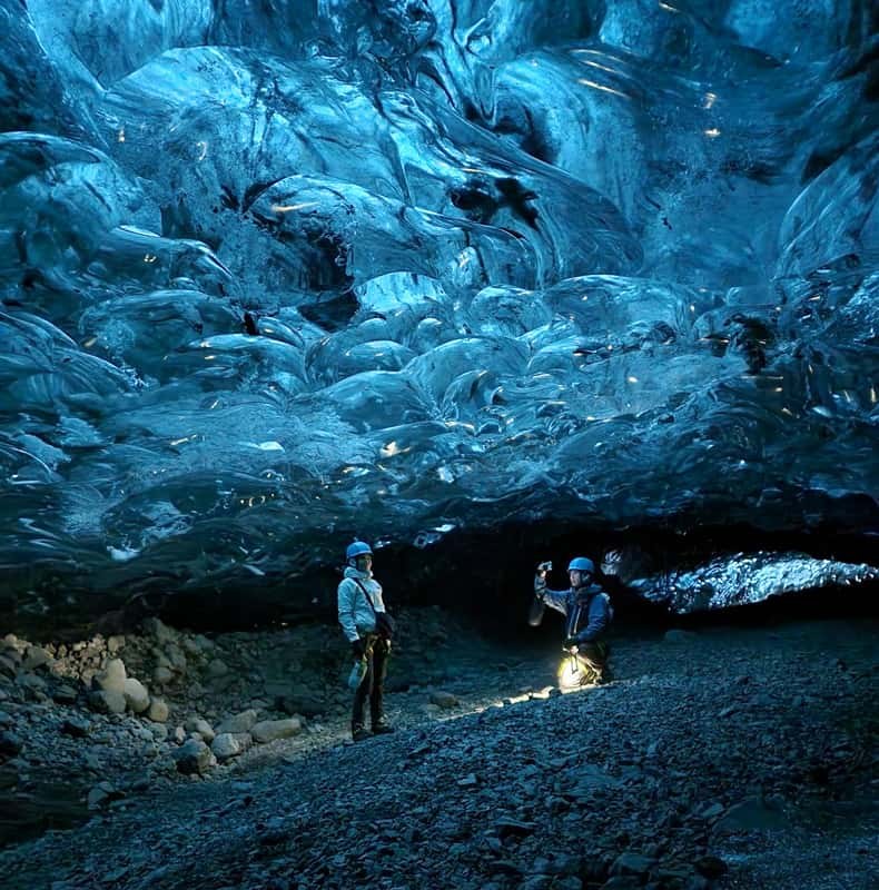
Jökulsárlón: Blue Ice Cave Tour and Glacier Walk
Six hours from the lagoon car park: a jeep ride, about 75 minutes on foot across the ice and about an hour in a blue ice cave; from age 14.
From $242 per person
Check Availability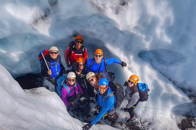
Glacier hike and Iceberg Boat Tour
Four hours at the smaller lagoon: a hike on the ice and a boat ride, with crampons, helmet, life vest and a warm flotation jacket; from age 14.
From $244 per person
Check AvailabilityNext: work out the family logistics in minimum ages and boot sizes for families. Every fare sits side by side on Iceland Glacier Tours.